Redefining navigation beyond GPS.
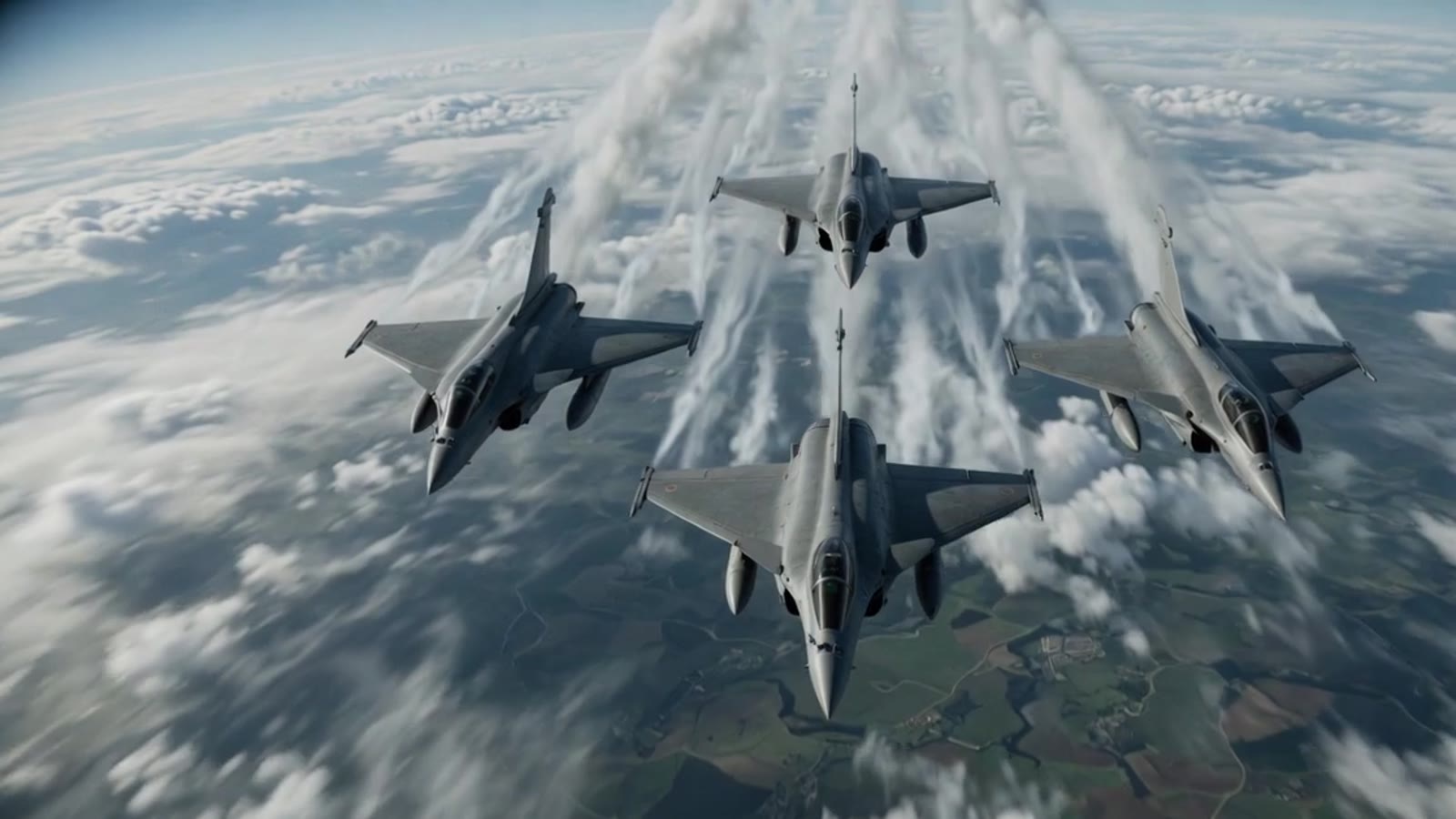
Rafales fall toward the ground. The constellation is not the sole trusted source.
Ground vehicles keep moving when GNSS cannot be treated as the sole trusted source.
High terrain. Ice. Fusion keeps a path.
The constellation is a machine assembling in orbit. It is the first thing to go.
Giant arrays hold the orbit. The platform cannot treat them as the sole trusted source.
A UAV holds the canyon when GNSS cannot be treated as the sole trusted source.
The camera is the navigator. Visual sensing holds a path in the air.
Visual features lock the desert. Ground platforms hold the terrain.
Onboard sensing holds the dunes when the constellation cannot.
GNSS can be blocked or degraded indoors, underground, inside tunnels, near dense infrastructure, in urban canyons, or under foliage — and disrupted by interference, jamming, spoofing, or operational denial.
Indoors and underground
Tunnels and dense infrastructure
Urban canyons and foliage
Interference and jamming
Spoofing and signal deception
Operational denial
The objective is not universal GPS replacement, but platform-specific navigation technology for environments where GNSS is unavailable, degraded, or cannot be treated as the sole trusted source.
PhoQtek Labs works with defense users, aerospace teams, UAV/UGV developers, robotics companies, system integrators, laboratories, and industrial partners.
PhoQtek approaches GPS-denied navigation as a system-level engineering challenge spanning photonics, inertial sensing, visual navigation, embedded systems, and integration.
Onboard visual sensing and embedded processing to provide navigation-relevant information in GNSS-degraded environments.
Open page →Optical inertial sensing under development, contributing angular-rate information to the navigation stack.
Staged development →Onboard processing, sensor interfaces, data handling, and platform integration within power and thermal constraints.
Complementary sensing architectures combining visual, inertial, platform, and mission-relevant inputs under defined operating conditions.
Navigation resilience for platforms expected to operate in GNSS-degraded, GNSS-denied, and electronically contested environments.
02Navigation resilience and inertial backup for aerospace and autonomous flight systems in operationally complex environments.
03Reducing single-point dependence on GNSS for unmanned aerial and ground platforms through complementary onboard sensing.
04Navigation technologies for robots operating indoors, in industrial facilities, infrastructure environments, and GNSS-limited areas.
05Navigation-relevant sensing for autonomous mobility in urban canyons, tunnels, underpasses, and GNSS-obstructed corridors.
06Tunnels, mines, pipe-jacking, trenchless construction support, indoor inspection, and underground corridor navigation.
PhoQtek Labs combines photonics R&D, inertial sensing, visual navigation, embedded systems, and sensor-fusion engineering to develop GPS-denied navigation technologies for defense, aerospace, unmanned systems, robotics, and selected industrial mobility applications.
Our work spans Fiber-Optic Gyroscope development, Visual Navigation Systems, embedded navigation electronics, platform integration, and staged validation. We approach GPS-denied navigation as a system-level engineering challenge where optical sensing, visual sensing, inertial measurement, onboard processing, interfaces, mechanical integration, and testing must work together under defined operating conditions.
PhoQtek follows a disciplined development pathway: physics-level validation, subsystem prototyping, signal characterization, platform integration, GPS-denied scenario testing, ruggedization planning, and customer-specific product development. Public performance claims are made only after controlled testing and platform-specific validation.
| Capability pillar | Website copy |
|---|---|
| Photonics & Optical Sensing | Fiber-Optic Gyroscope development, optical inertial sensing, photonic signal-chain validation, and sensor-level characterization. |
| Inertial Navigation | FOG-based inertial sensing roadmap for heading support, stabilization, inertial backup, and navigation-stack integration. |
| Visual Navigation | Onboard visual sensing and embedded processing for GNSS-degraded environments, UAVs, UGVs, robotics, and autonomous platforms. |
| Sensor Fusion | Complementary sensing architectures combining visual, inertial, platform, and mission-relevant inputs under defined operating conditions. |
| Embedded Systems | Onboard processing, sensor interfaces, navigation electronics, data handling, and platform integration. |
| Defense-Oriented Engineering | SWaP-aware design, ruggedization planning, environmental considerations, EMI/EMC awareness, interface discipline, and staged validation. |
| Testing & Validation | Controlled laboratory testing, subsystem characterization, platform integration, GPS-denied scenario evaluation, and customer-specific demonstration pathways. |
PhoQtek’s GPS-denied navigation technologies are under staged development and platform-specific validation. Performance depends on platform dynamics, environment, sensor configuration, mission duration, compute resources, mechanical integration, and operating conditions. Public performance claims are made only after controlled testing and application-specific evaluation.